La República Dominicana es el país que ocupa algo más de los dos tercios orientales de La Española, isla del Archipiélago de las Antillas. Limita al Norte con el Océano Atlántico, al Sur con el Mar Caribe o de las Antillas, al Este con el Canal de la Mona, que la separa de Puerto Rico, y al Oeste con la República de Haití. Tiene una superficie territorial de 48,670 km² y una población de más de 9 millones de habitantes. La sede de gobierno y capital del país es Santo Domingo.
The Dominican Republic is a country located on the eastern five-eighths of the Caribbean island of Hispaniola, bordering ► Haiti. Hispaniola is the second-largest of the Greater Antilles islands, and lies west of ► Puerto Rico and east of ► Cuba and ► Jamaica. Dominicans sometimes refer to their country as Quisqueya, a name for Hispaniola used by indigenous Taíno people meaning "high land", referring to the highest portion of the hisponiola island. The Dominican Republic is not to be confused with Dominica, another Caribbean country.
The WIKIMEDIA COMMONS Atlas of the World is an organized and commented collection of geographical, political and historical maps available at Wikimedia Commons. The main page is therefore the portal to maps and cartography on Wikimedia. That page contains links to entries by country, continent and by topic as well as general notes and references.
Every entry has an introduction section in English. If other languages are native and/or official in an entity, introductions in other languages are added in separate sections. The text of the introduction(s) is based on the content of the Wikipedia encyclopedia. For sources of the introduction see therefore the Wikipedia entries linked to. The same goes for the texts in the history sections.
Historical maps are included in the continent, country and dependency entries.
The status of various entities is disputed. See the content for the entities concerned.
The maps of former countries that are more or less continued by a present-day country or had a territory included in only one or two countries are included in the atlas of the present-day country. For example the Ottoman Empire can be found in the Atlas of Turkey.


.PNG)
 Azua
Azua Baoruco
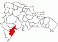 Barahona
 Dajabón
 Distrito Nacional
 Duarte
 Elias Piña
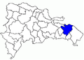 El Seibo
 Espaillat
 Hato Mayor
 Hermanas Mirabal
 Independencia
 La Altagracia
 La Romana
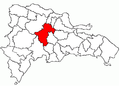 La Vega
 María Trinidad Sánchez
 Monseñor Nouel
 Monte Cristi
 Monte Plata
 Pedernales
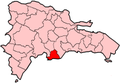 Peravia
 Puerto Plata
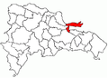 Samaná
 Sánchez Ramírez
 San Cristóbal
 San José de Ocoa
 San Juan
 San pedro de Macorís
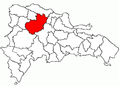 Santiago
 Santiago Rodríguez
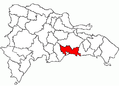 Santo Domingo
 Valverde


