File:Niuatoputapu tafahi tonga.jpg
Jump to navigation
Jump to search

Size of this preview: 342 × 599 pixels. Other resolutions: 137 × 240 pixels | 274 × 480 pixels | 644 × 1,127 pixels.
Original file (644 × 1,127 pixels, file size: 131 KB, MIME type: image/jpeg)
Captions
Captions
Add a one-line explanation of what this file represents
Summary
[edit]
| Description |
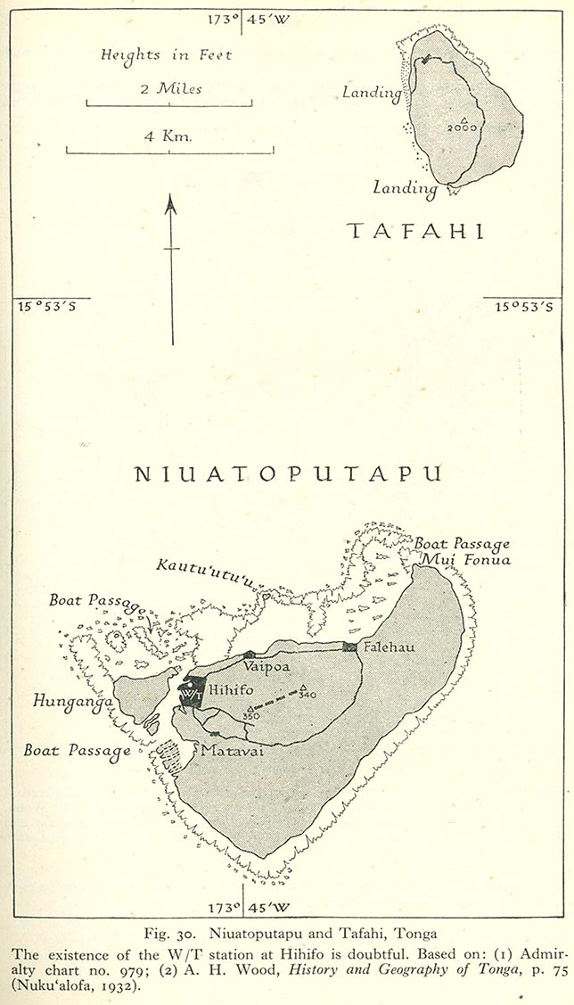
English: Niuatoputapu and Tafahi, Niua Islands, northern Tonga, Pacific Ocean |
| Date | 1932, 1945 |
| Source | map is linked from this page, direct link from "Pacific Islands", Geographical Handbook Series, Great Britain. Admiralty. Naval Intelligence Division, 1943-1945. The map is based on two other sources as indicated below the map in the graphics file. |
| Author | Admiralty. Naval Intelligence Division |
Licensing
[edit]
This file is in the public domain because it has been taken from a collection of public domain maps at the University of Texas Library- see http://www.lib.utexas.edu/usage_statement.html?maps=yes:
"Most of the maps scanned by the University of Texas Libraries and served from this web site are in the public domain. No permissions are needed to copy them. You may download them and use them as you wish. A few maps are copyrighted, and are clearly marked as such."
|
This work created by the United Kingdom Government is in the public domain.
This is because it is one of the following:
HMSO has declared that the expiry of Crown Copyrights applies worldwide (ref: HMSO Email Reply)
|
 |
File history
Click on a date/time to view the file as it appeared at that time.
| Date/Time | Thumbnail | Dimensions | User | Comment | |
|---|---|---|---|---|---|
| current | 12:55, 25 June 2010 | | 644 × 1,127 (131 KB) | Ratzer (talk | contribs) | {{Information |Description={{en|1=Niuatoputapu and Tafahi, Niua Islands, northern Tonga, Pacific Ocean}} |Source=http://www.lib.utexas.edu/maps/historical/pacific_islands_1943_1945/niuatoputapu_tafahi_tonga.jpg |Author=unknown |Date=1932 |Permission= |oth |
You cannot overwrite this file.
File usage on Commons
There are no pages that use this file.
File usage on other wikis
The following other wikis use this file:
- Usage on de.wikipedia.org
- Usage on ka.wikipedia.org
- Usage on ru.wikipedia.org
- Usage on to.wikipedia.org
- Usage on zh.wikipedia.org